Narragansett is the kind of coastal town that keeps changing scale as you walk. The Towers hold the wide view, Black Point turns the attention toward rock and water, and Ocean Road rewards a slower look at porches, stonework, gardens, and the way late-summer light moves across old buildings.
I photographed this walk on August 29, 2025 with a phone and a Canon EOS R. The mix was useful: the phone handled quick location notes, while the EOS R made me stop and work more carefully around the architecture. This is a field story from that day, not a complete visitor guide.
The Towers Give the Walk Its Anchor
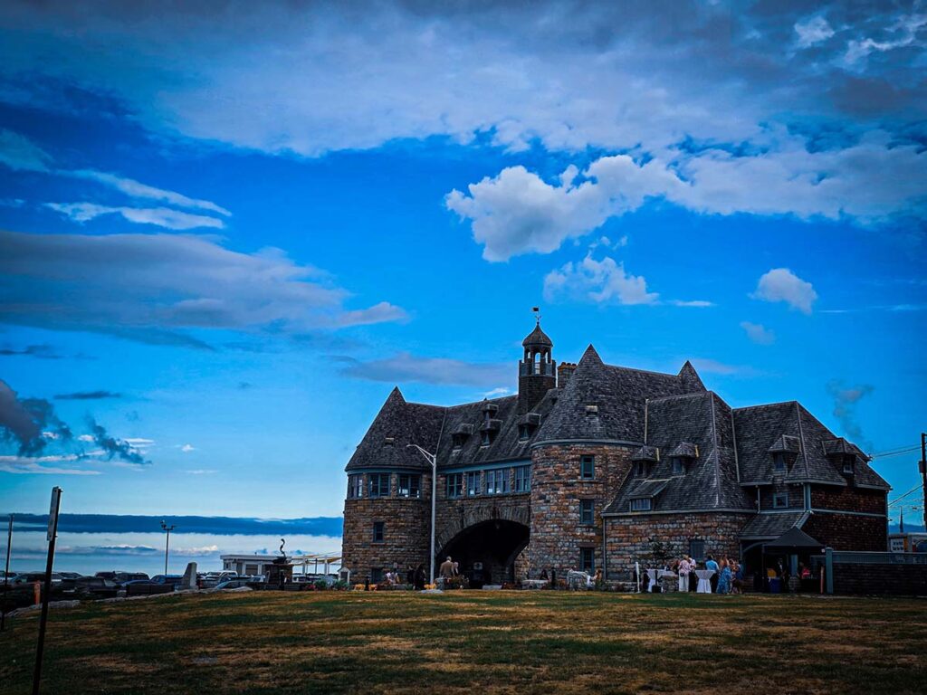
The Towers are difficult to treat as background. The stone arch crosses Ocean Road and immediately divides the scene into frames: roadway, sky, water, masonry, and people moving beneath it. I circled rather than settling for the first postcard angle, looking for clean lines and a view that kept the structure connected to the coast.
The history deserves precision. The Town of Narragansett describes The Towers as the surviving landmark of the Narragansett Pier Casino and dates the structure to the 1880s. Fire destroyed the wooden casino in 1900; the stone structure survived, was rebuilt, endured later hurricane and fire damage, and eventually became a town-owned event venue. The town’s history and facility page are better references than repeating a simplified legend.
Black Point Changes the Visual Rhythm
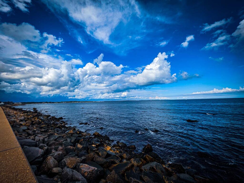
Black Point felt less formal and more exposed. The useful photographs were not only the widest ocean views. I looked for lines through the rock, changes in texture, and small pieces of vegetation that could hold the foreground while the water supplied movement behind them.
Coastal rock invites bad decisions when the camera starts pulling attention away from footing. Spray, wind, wet surfaces, and changing tide conditions matter more than the frame. I stayed with stable positions and treated the edge as a boundary, not a challenge.
Ocean Road Works Best as a Detail Study
The houses along Ocean Road can become a repetitive catalog if every photograph tries to show an entire facade. Switching to the EOS R slowed the walk down. I paid more attention to how porches overlap, how greenery softens the geometry, and where a shadow or bright trim line gives the eye a place to enter.
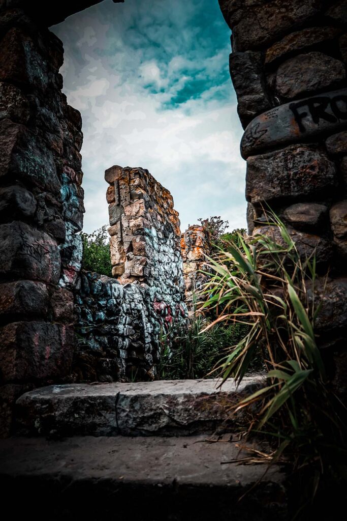

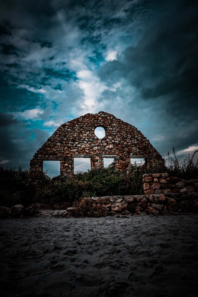
Narragansett officially recognizes historic districts around The Towers and Ocean Road. That context helped me understand why the walk feels visually consistent without pretending every building has the same story. The town’s historic district maps are a useful starting point for anyone interested in the architecture.
How I Would Photograph the Walk Again
- Begin with one wide establishing frame at The Towers, then work the stone, traffic, and ocean as separate layers.
- Carry one normal or moderately wide lens for Ocean Road so the architecture stays coherent instead of exaggerated.
- Use the phone for quick location records and the larger camera when a scene deserves slower edge and exposure checks.
- At Black Point, choose stable ground before choosing a composition.
- Leave space in the schedule. The strongest details appeared between the named landmarks.
Parking, events, beach rules, trail conditions, and public access can change. Check the Town of Narragansett before making the trip, and follow posted property and shoreline restrictions while photographing.
Sources & Field Notes
- Field visit and original photographs: August 29, 2025.
- Town of Narragansett history for the resort era and preservation context.
- Town facility record for The Towers.
- Narragansett historic district maps.
For another place-first story, read about photographing the Ledges Hotel in winter, or browse my photography work.
The Falls Here Network
Explore more regional outdoor stories.
Regional outdoor stories, waterfalls, food stops, photography, and travel notes across PA, NJ, NY, DC, MD, VA, and Philadelphia.