Real estate drone photography can help a listing stand out, but it works best when there is a clear reason to use it. The goal is not just to get a dramatic aerial image. The goal is to help buyers, sellers, agents, and property owners understand the property faster.
For sellers and agents near Lansdale, PA, drone photos can be especially useful when a home has land, a strong exterior, a corner lot, nearby open space, a scenic setting, or features that are hard to explain from ground level. Aerial images add context. Ground-level photos show the rooms and details. Together, they can tell a more complete property story.
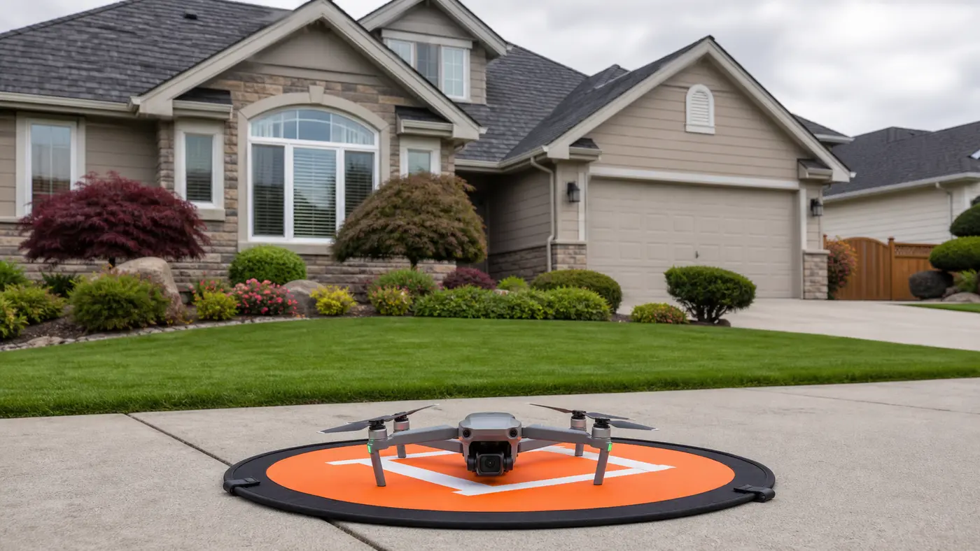
What real estate drone photography can show
A drone view can quickly show details that may be difficult to communicate from the ground. This is especially helpful for larger properties, homes with strong exterior features, and listings where the surrounding setting is part of the value.
- Overall property layout.
- Yard size and usable outdoor space.
- Driveways, garages, sheds, patios, pools, decks, and exterior features.
- Relationship to neighboring homes, open land, trees, or nearby roads.
- Commercial, rental, venue, or land context.
- Exterior views that support listing photos, social media, websites, and print marketing.
When drone photos are worth it
Drone photos are especially useful for properties with exterior strengths. If the property has acreage, a large yard, a detached garage, a scenic backdrop, a unique layout, or a corner-lot position, aerial images can make those features easier to see.
They can also help small commercial properties, rental listings, land, venues, and local businesses that want to show their physical location clearly. For example, a business may want to show parking, building access, surrounding streets, or how the location sits in the neighborhood.
When drone photography may not be necessary
Drone photography is not automatically the right choice for every listing. A small property with limited exterior appeal may benefit more from strong interior images, clean exterior ground photos, and accurate detail shots. If trees, power lines, weather, airspace, or access limit the view, the drone may not add enough value to justify forcing it into the shoot.
The best decision is practical: does the aerial image explain something the buyer or viewer needs to understand? If yes, drone photography can be valuable. If not, the shoot may be better focused elsewhere.
What sellers and agents should prepare
The best real estate drone photos happen when the property is ready outside. Move vehicles if possible. Clear obvious clutter from the driveway, porch, patio, yard, and visible exterior areas. Put trash cans away. Open patio umbrellas or arrange outdoor furniture if those features are part of the look. Make sure gates, access points, and parking expectations are clear before the shoot.
Weather matters too. Wind, rain, low visibility, and harsh midday sun can affect what is possible. Drone work also depends on airspace, property access, safety, and whether the location allows a responsible flight plan.
How drone photos fit with ground-level real estate images
Aerial photos should support the listing, not replace the rest of the gallery. A strong real estate set usually includes exterior ground photos, key room images, detail shots, and a few context images that help people understand the property. Drone images work best when they add scale, layout, or location context to that complete set.
This is similar to how I think about broader photography services in Lansdale, PA. The job determines the tool. For a property shoot, that may mean a mix of ground-level exterior images, interior images, and drone views. For a business or brand shoot, it may mean portraits, detail images, workspace photos, and exterior context.
Local planning around Lansdale and nearby areas
In the Lansdale region, property styles can vary from tighter neighborhood lots to larger suburban yards, small commercial buildings, rentals, and nearby rural or semi-rural properties. That variety is exactly why planning matters. Aerial images may be excellent for one listing and unnecessary for another just a few miles away.
Before a shoot, I want to understand the property features that matter most: yard, exterior, parking, land, surrounding trees, driveway, detached structures, or nearby context. That helps the drone work stay focused on useful listing images instead of generic overhead views.
FAQ: real estate drone photography near Lansdale, PA
Do all real estate listings need drone photos?
No. Drone photos are most helpful when the exterior, land, setting, or layout adds meaningful information. If the aerial view does not help the viewer understand the property, it may not be needed.
What can delay a drone shoot?
Wind, rain, low visibility, restricted airspace, unsafe takeoff areas, poor access, and exterior property conditions can all affect scheduling or shot selection.
Can drone images be used beyond the listing?
Often yes, depending on the agreement and intended use. Drone images can support social media, websites, property marketing, small business pages, and print materials when usage terms are clear.
I offer real estate drone and property photography within about 100 miles of Lansdale, PA, depending on airspace, weather, access, and project fit. You can request a quote through my photography services page.